All
We Are Here!
Simple Location Maps for Maya You can click on the buttons to zoom and move the map. There are now two versions of the map as the live one from “Vessel Finder” wasn’t always uptodate!
Simple Location Maps for Maya You can click on the buttons to zoom and move the map. There are now two versions of the map as the live one from “Vessel Finder” wasn’t always uptodate!
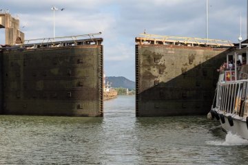
After arriving back at Shelterbay Marina, our preparations for the passage through the Panama Canal got into full swing. Maya needed to be cleaned, and supplies also needed to be replenished. All the gear off Read more…
Following an unpleasant return trip to Panama and two weeks of preparation, i.e. extensive grocery shopping and cleaning of Maya, our friends were due to arrive. For the previous two weeks the wind conditions in Read more…
When we return to Hamburg, it always needs a few days to settle in again. However, for the next two months, there was hardly any time to rest. My father was very ill, and we Read more…
After some confusion over the date, “Maya” is finally lifted ashore and “parked” with an overall cover on to protect the decks from the rain and the sun. Because of the high humidity levels we Read more…
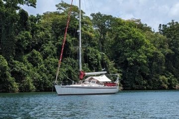
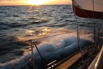
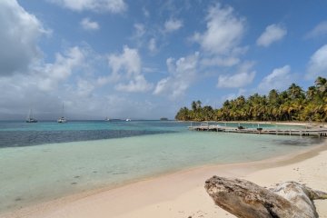
For our 24-hour sailing trip from the Shelterbay Marina to the island archipelago of Bocas del Toro we had at the beginning a good wind with BF 5-6 and a wave height of 1,9m. The Read more…